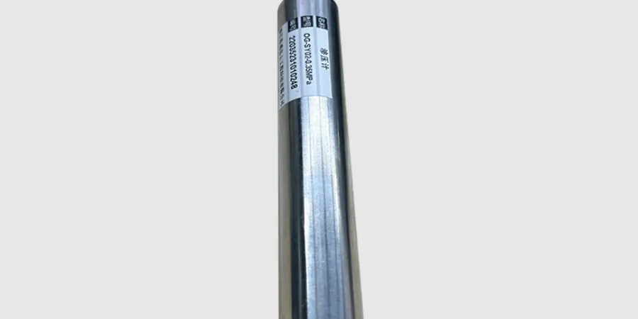
Chatham-Kent sits on thick deposits of glacial till and lacustrine clays, with the water table often just 1.5 to 3 meters below grade across much of the municipality. These soft, compressible soils demand careful monitoring during construction. That is why we design and install geotechnical instrumentation tailored to the local geology — from piezometers to track pore pressure changes in the clay layers to settlement plates for embankments on the floodplains of the Thames River. Before placing any sensor, we typically run a [MASW survey](/masw-vs30/) to map stiffness variations across the site, which helps define where to locate the instrumentation array efficiently.
Soft clays and a high water table make Chatham-Kent one of the most challenging areas in Ontario for geotechnical instrumentation — every sensor must be placed with local geology in mind.